Navigation
Outdoor Navigation: Map, Compass & GPS — A Practical Primer
GPS is great until your battery dies. Map and compass are great until fog rolls in and you don't trust your skills. Real backcountry navigation combines both — plus the judgment to know which to lean on. Here's how to build the toolkit.
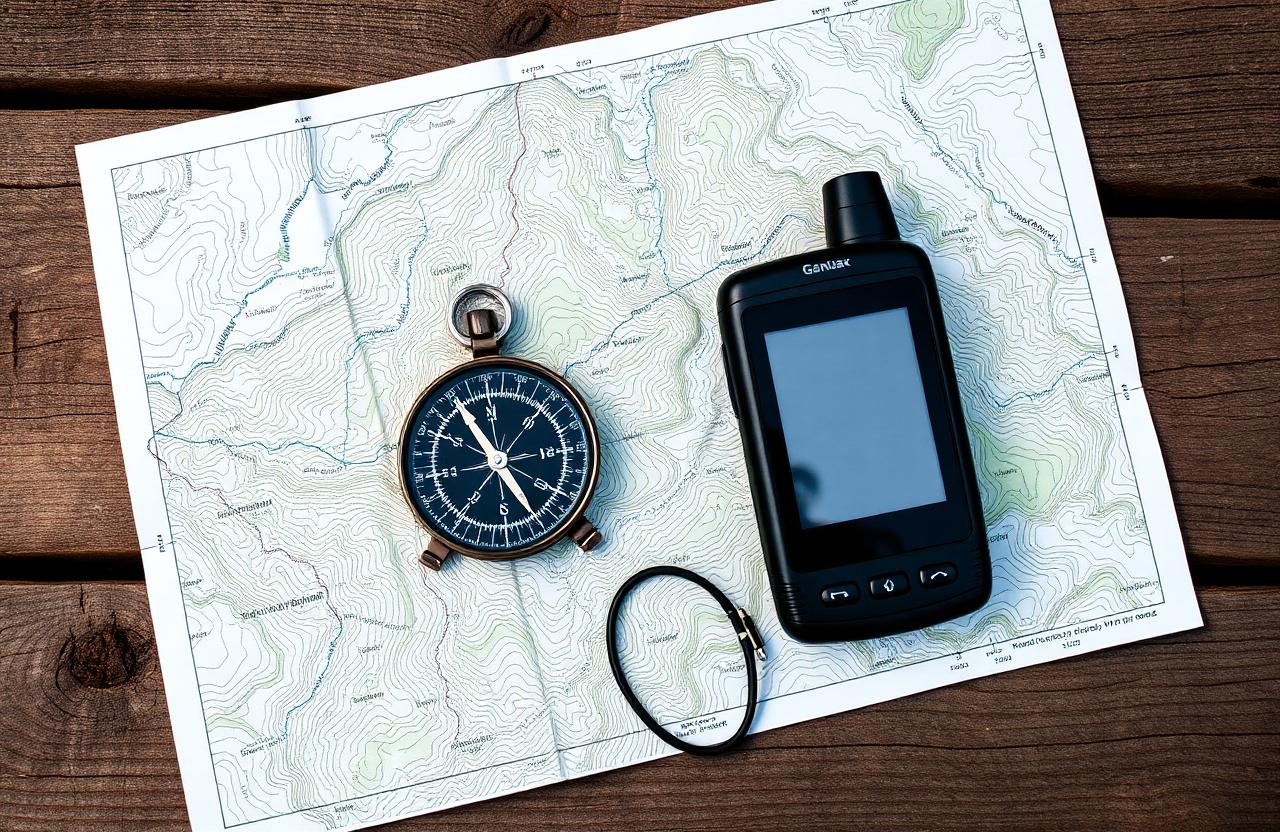
Reading a topographic map
Contour lines connect points of equal elevation. Close-together lines mean steep terrain; widely spaced lines mean gentle. Index contours (the bold ones) are usually every 5th line and labeled with elevation. Learn to picture the 3D landscape from the 2D map before your trip — not while lost on it.
The 5 things a compass tells you
- Direction of travel (point the arrow, follow it).
- Bearing from your location to a visible landmark.
- Bearing from a map feature to your location (triangulation).
- Whether you're walking the planned bearing or drifting.
- Declination-corrected magnetic north vs. true north.
Set your declination
Most baseplate compasses have a small screw to set local declination. Do it once before each trip and you can read bearings directly from the map without math.
GPS & smartphone apps done right
Apps like Gaia GPS, OnX, and Caltopo turn your phone into a powerful nav tool — but only when you've downloaded offline maps before leaving cell coverage. Carry a battery bank, set your phone to airplane mode (GPS works without cell signal), and treat the phone as primary and the compass as backup.
Always carry a printed backup
Print your topo map at the relevant scale and store it in a zip bag. Electronics fail; paper doesn't run out of battery.
When you're lost
STOP — Stop, Think, Observe, Plan. Don't keep walking 'to find the trail.' Sit, drink water, retrace your mental map. If you genuinely don't know where you are, stay put — rescuers find stationary subjects far faster than moving ones.